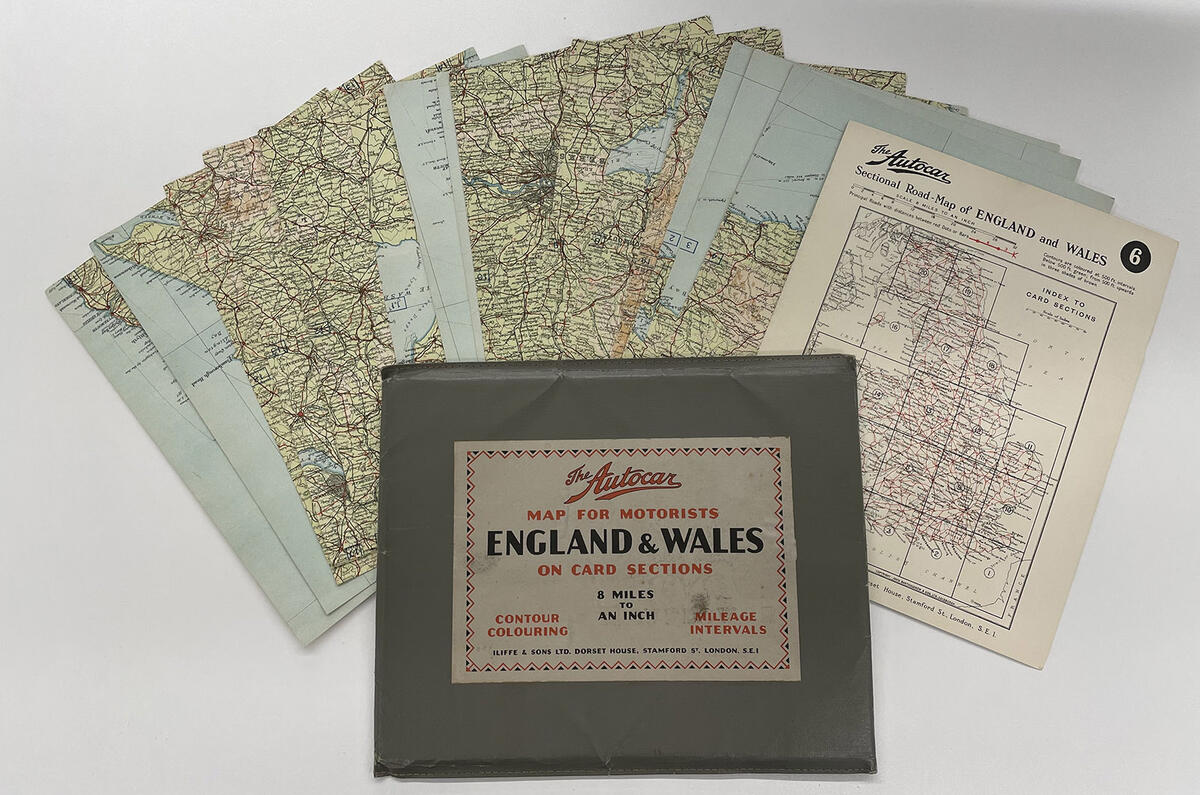
Many thanks to the anonymous reader who recently posted us a beautifully preserved example of our forebears’ work, as seen above.
Produced in the early 1930s, The Autocar map for motorists of England and Wales (plus some of Scotland and the Isle of Man) was printed on 20 card sections – featuring contour colouring and mileage intervals, we boasted – at a scale of eight miles to an inch.
Subscribe to the Autocar Archive today
It could be bought from “leading bookshops” or by post in 1931 for 15 shillings and sixpence (about £54 today), plus a “stout and attractive” leather envelope could be had for six and six (about £23).
“Get your copy of this map to-day!” we enthused. “You will appreciate its usefulness for touring and week-end trips!”
Today, it’s most fascinating to see how our urban areas and road network have been transformed.
The Autocar archive, dating from 1895 to modern day, is now available online. Subscribe today


Add your comment